send link to app
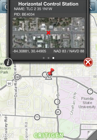
FindAControl provides map-based access to National Geodetic Survey (NGS) survey control data, eliminating return trips to the office when control cannot be found. Users can easily find authoritative survey control stations on a map, see the quality and type of stations available near them and view the NGS datasheets that summarize key geodetic information they need.


